Friday, April 19, 2024 | St. Lawrence County, NY
A severe snowstorm is predicted to leave at least three inches and as many as eight in some areas of St. Lawrence County between Saturday night and Sunday night. That is predicted to be followed by …
This item is available in full to subscribers.
To continue reading, you will need to either log in to your subscriber account, or purchase a new subscription.
If you are a digital subscriber with an active, online-only subscription then you already have an account here. Just reset your password if you've not yet logged in to your account on this new site.
Otherwise, click here to view your options for subscribing.
Please log in to continue |
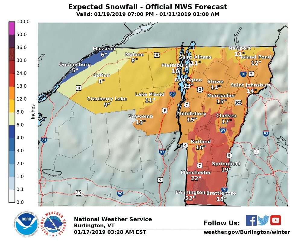
A severe snowstorm is predicted to leave at least three inches and as many as eight in some areas of St. Lawrence County between Saturday night and Sunday night. That is predicted to be followed by below-zero weather.
Meteorologists predict 3 to 5 inches of snow in the Massena-Ogdensburg area, 3 to 7 inches in the Canton-Potsdam area and 4 to 8 inches in the higher elevations and southwest portion of the county.
Heavy snowfall is predicted to start Saturday night, with wind chill values as low as -24 degrees, and extend to Sunday night. Sunday night lows are forecast as low as -15 degrees.
Friday is predicted to bring an inch of snow, and potentially up to two inches in some areas of St. Lawrence County. Friday night temperatures are predicted to get to around -10 degrees.
Monday is forecast to have highs around -1 and lows around -14.
The detailed National Weather Service forecast for St. Lawrence County:
Thursday night: A 50 percent chance of snow showers after midnight. Cloudy, with a low around 5. Wind chill values as low as -4. Calm wind becoming south 5 to 9 mph in the evening. Total nighttime snow accumulation of less than a half inch possible.
Friday - Snow showers likely, mainly before 4 p.m. Cloudy, with a high near 31. Wind chill values as low as zero. South wind 7 to 9 mph becoming northwest in the afternoon. Chance of precipitation is 70%. New snow accumulation of around an inch possible.
Friday night - A 30 percent chance of snow showers, mainly before 7 p.m. Mostly cloudy, with a low around -10. Wind chill values as low as -19. North wind 6 to 9 mph. New snow accumulation of less than a half inch possible.
Saturday - A 30 percent chance of snow after 3 p.m. Mostly cloudy and cold, with a high near 6. Wind chill values as low as -24. Northeast wind 5 to 14 mph. New snow accumulation of less than one inch possible.
Saturday night - Snow. Low around -1. Northeast wind around 11 mph. Chance of precipitation is 90%. New snow accumulation of 4 to 8 inches possible.
Sunday - Snow. High near 4. Northeast wind 11 to 13 mph. Chance of precipitation is 100%.
Sunday night - A 40 percent chance of snow showers. Cloudy, with a low around -15. Northwest wind around 10 mph.
M.L. King Day - Partly sunny and cold, with a high near -1. Northwest wind 8 to 10 mph.
Monday night - Mostly clear, with a low around -14. Northwest wind 5 to 7 mph becoming southwest after midnight.
Tuesday - Partly sunny, with a high near 22. South wind around 6 mph.
Tuesday night - A 50 percent chance of snow showers. Mostly cloudy, with a low around 13. South wind 7 to 10 mph.
Wednesday - Snow showers likely. Cloudy, with a high near 31. Southwest wind 8 to 10 mph. Chance of precipitation is 60%.
Wednesday night - A 50 percent chance of snow showers. Mostly cloudy, with a low around 9. West wind 5 to 7 mph.
Thursday - A 40 percent chance of snow showers. Mostly cloudy, with a high near 21. Northwest wind around 5 mph.


